


5.588 kr.
Paul de la Feuille - Les Tablettes Guerrieres ou Cartes choisies pour la comm...
København K
5.000 kr.
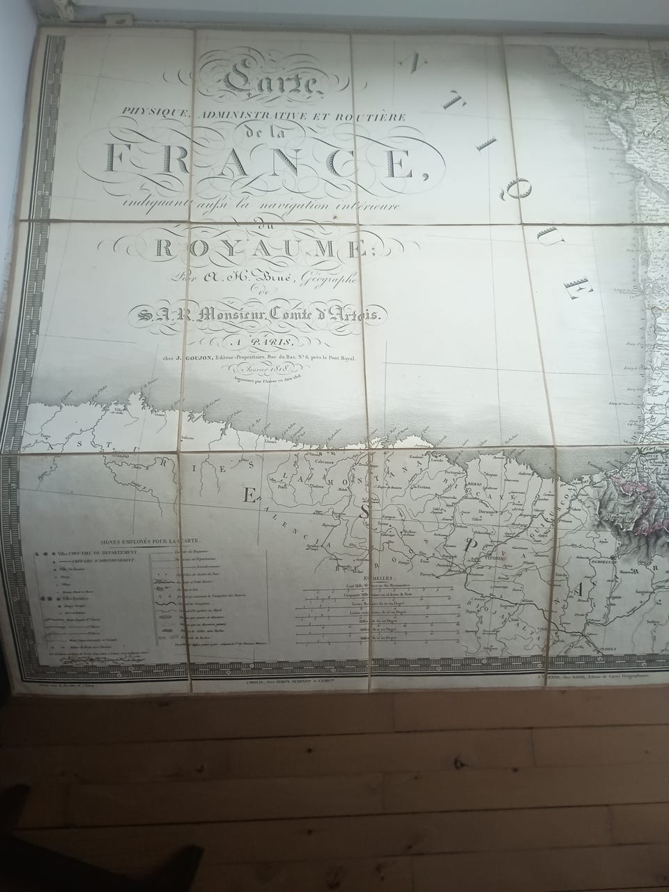
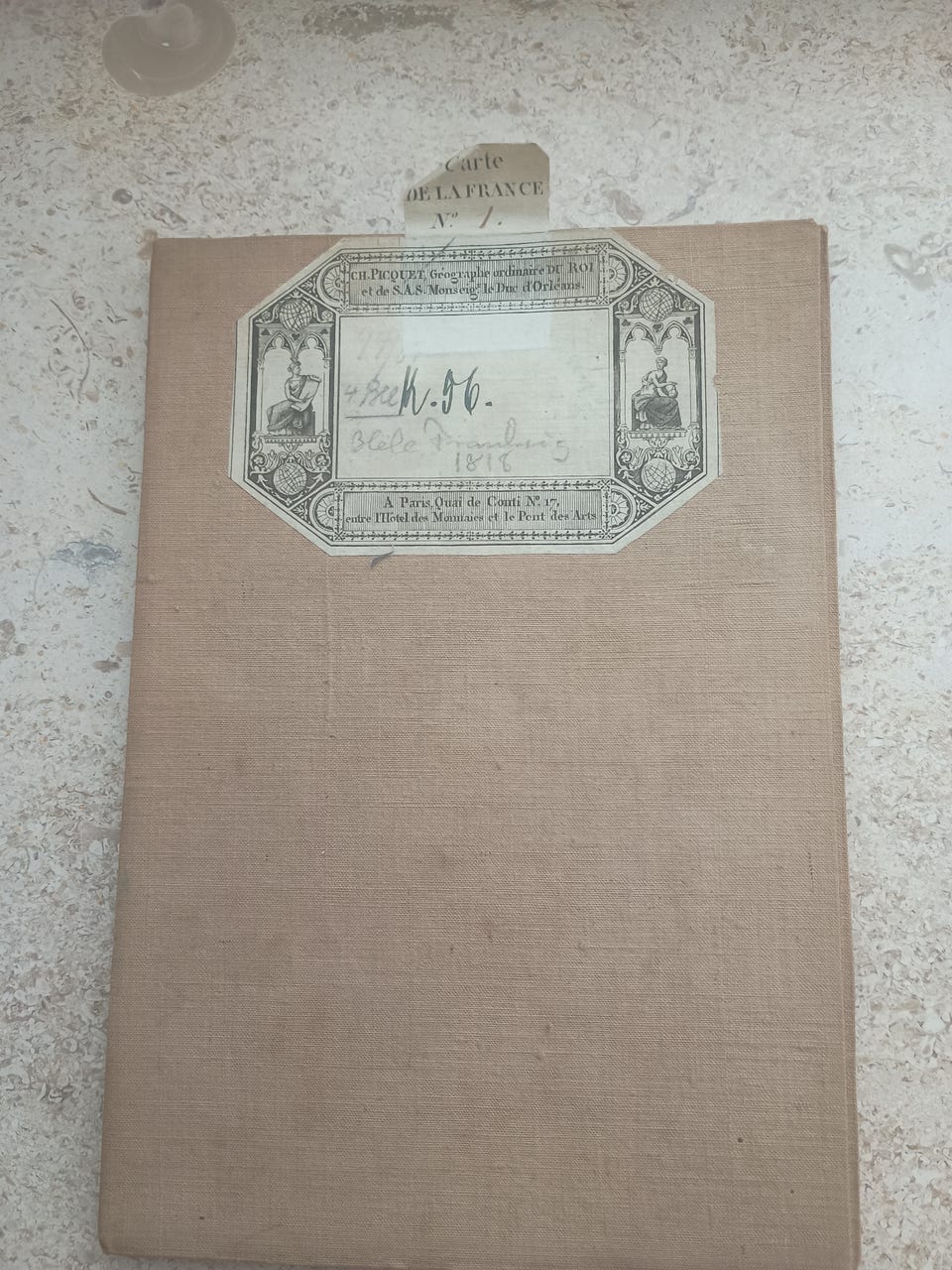
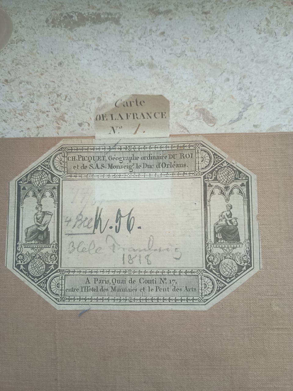
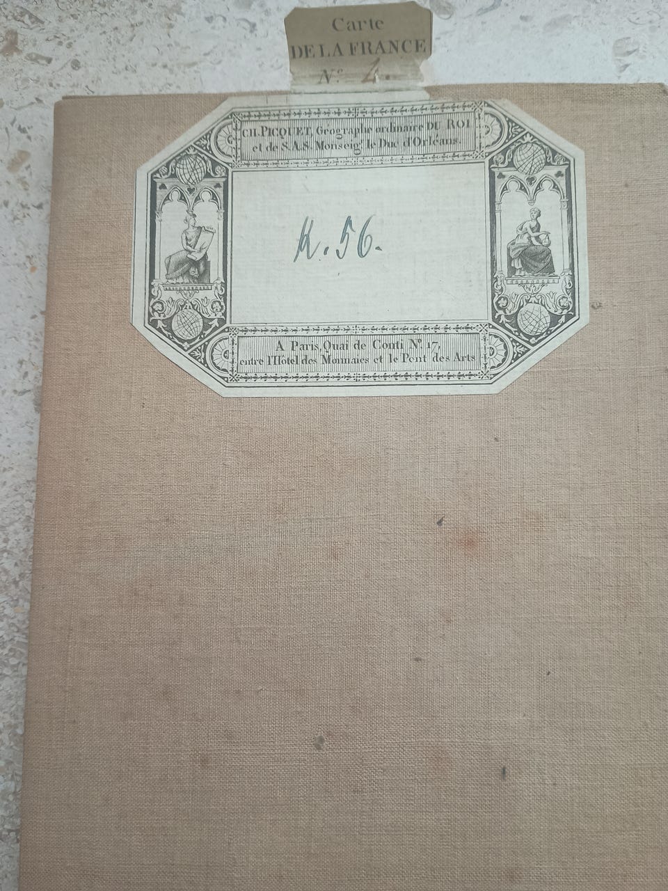
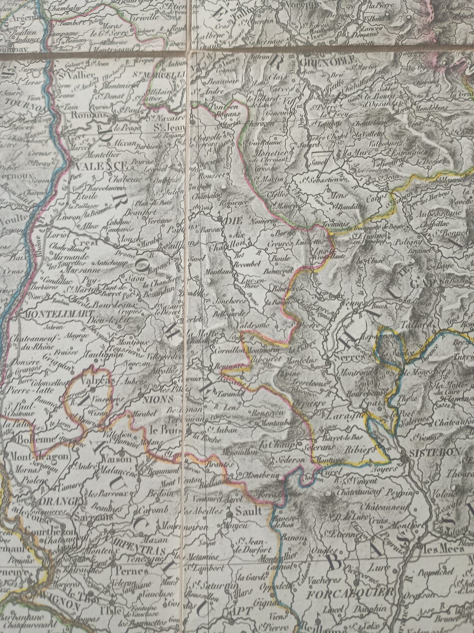
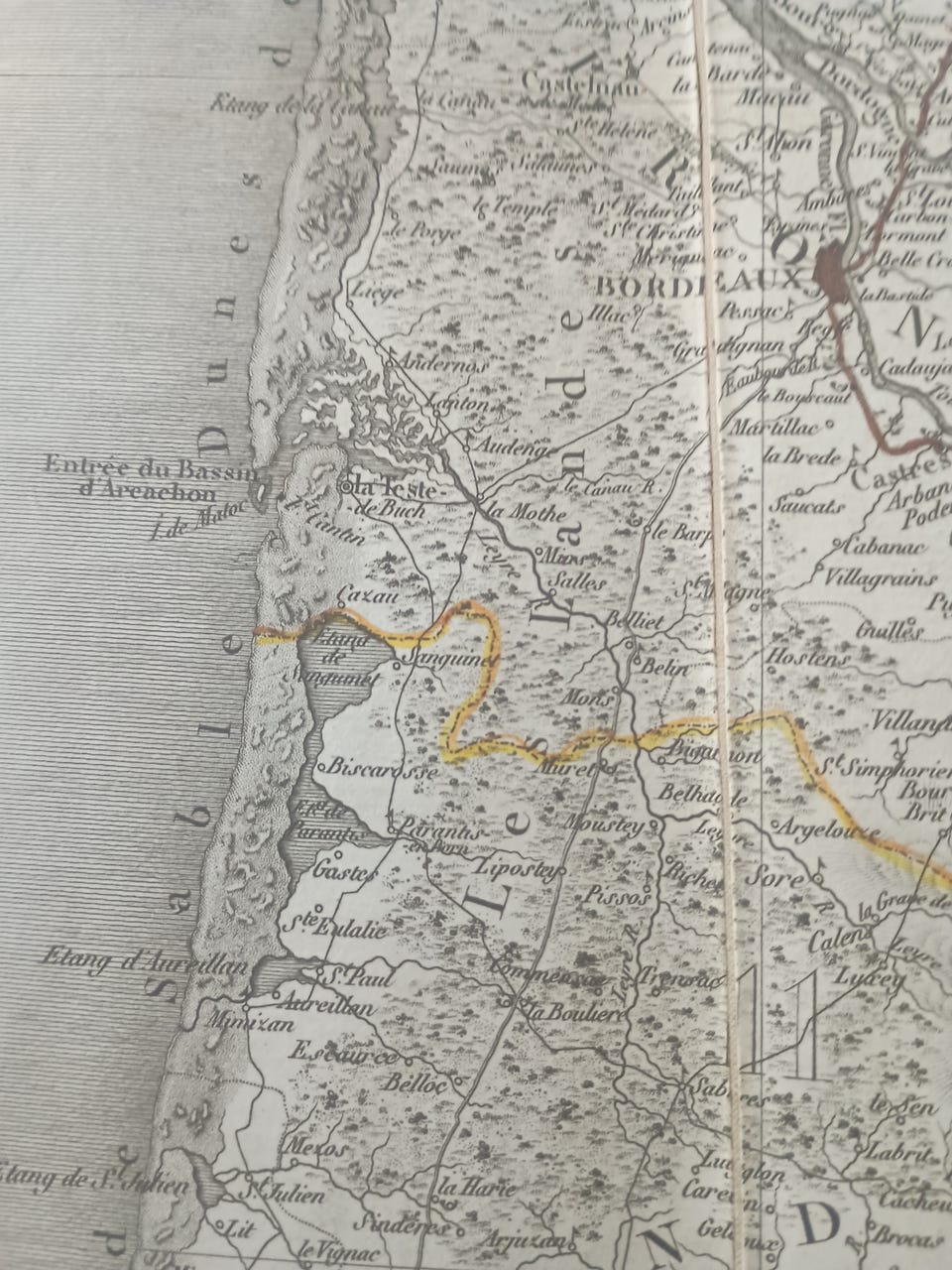
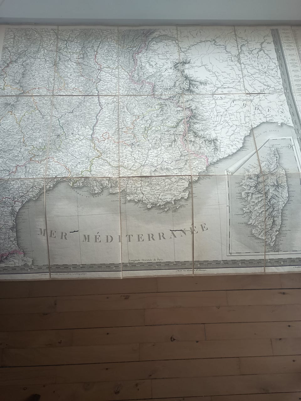
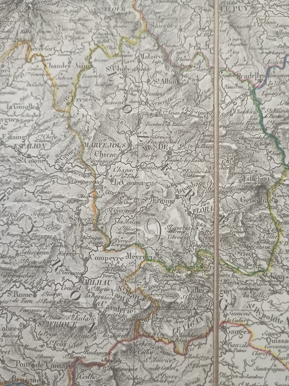
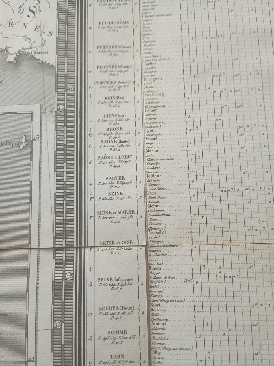
Fulde titel: "Carte physique administrative et routiere de la France indiquant aussi la navigation intérieure du royaume" or "Carte phisique administrative et routiere de la France indiquant aussi la navigation intérieure du royaume":
1. udgave og 1. oplag:
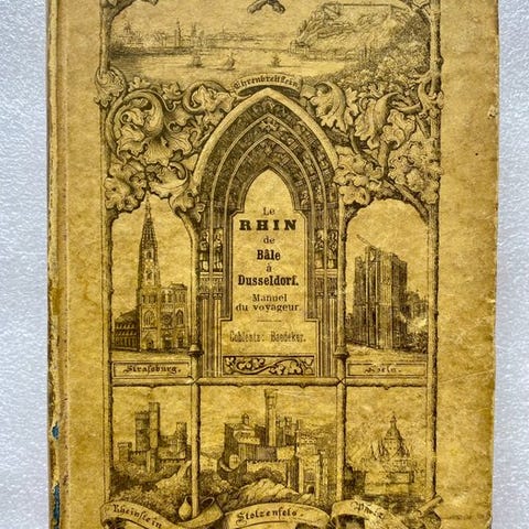
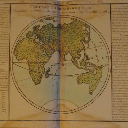
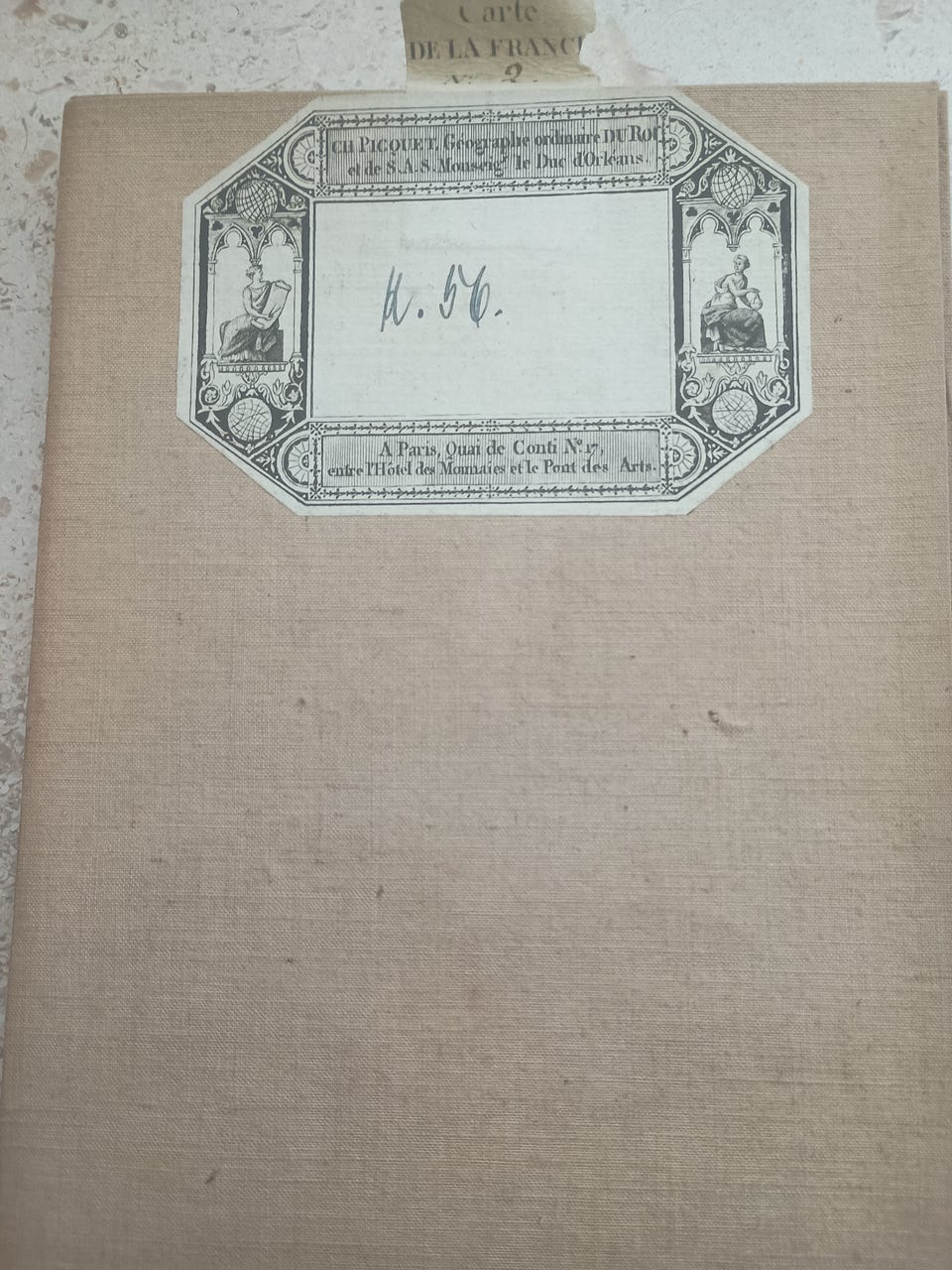
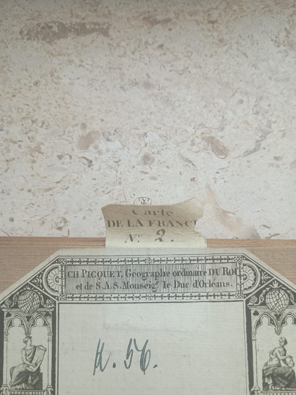
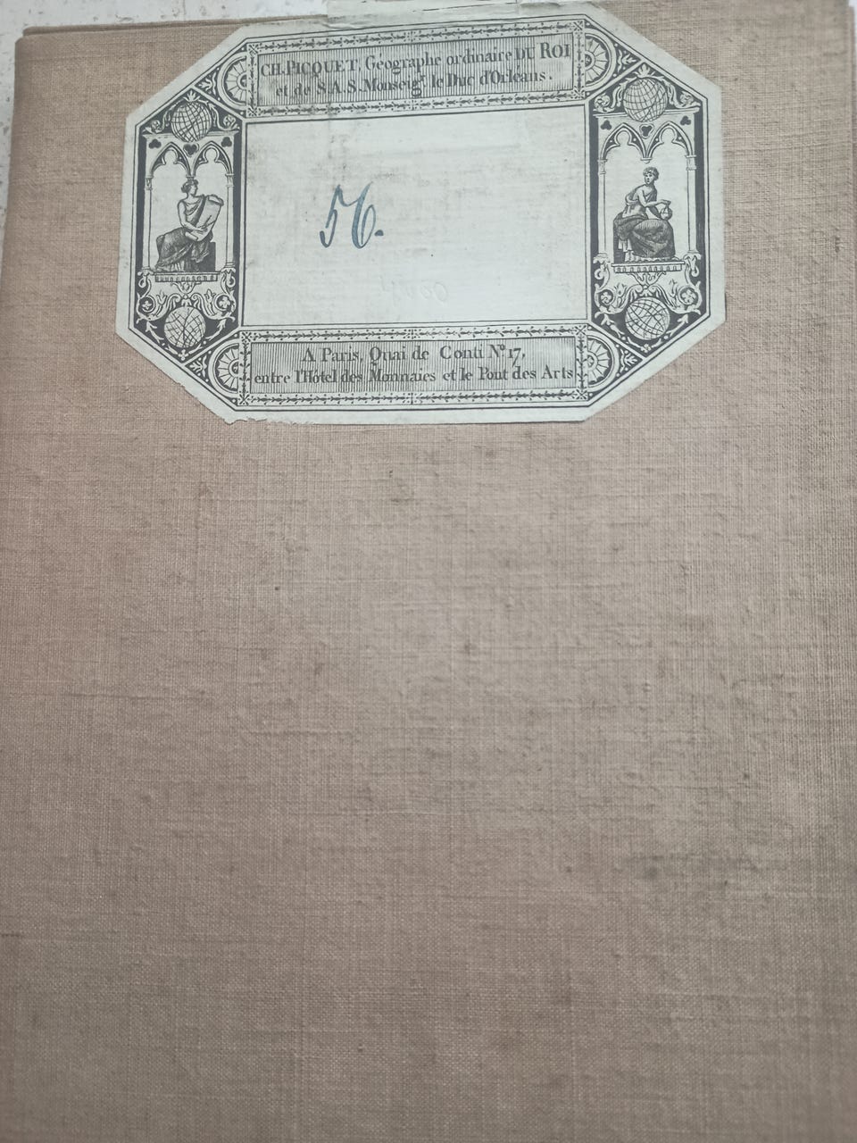
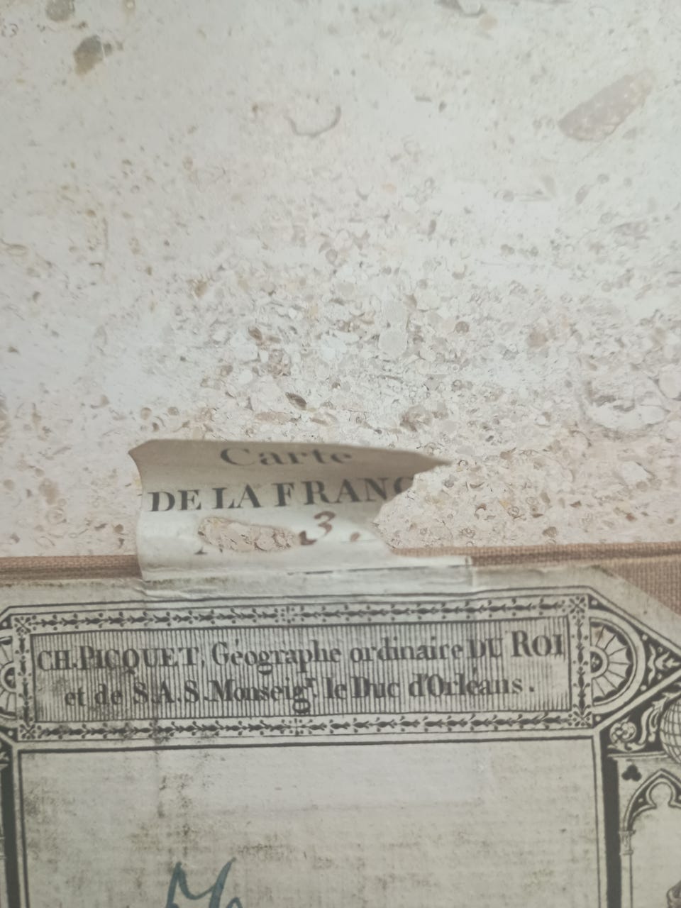
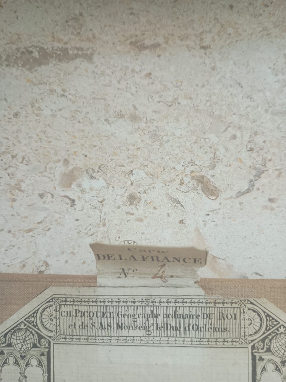
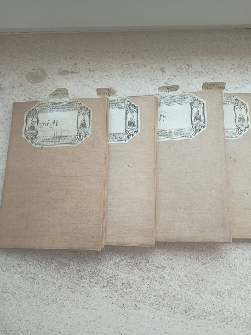
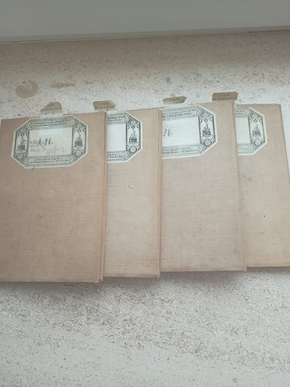
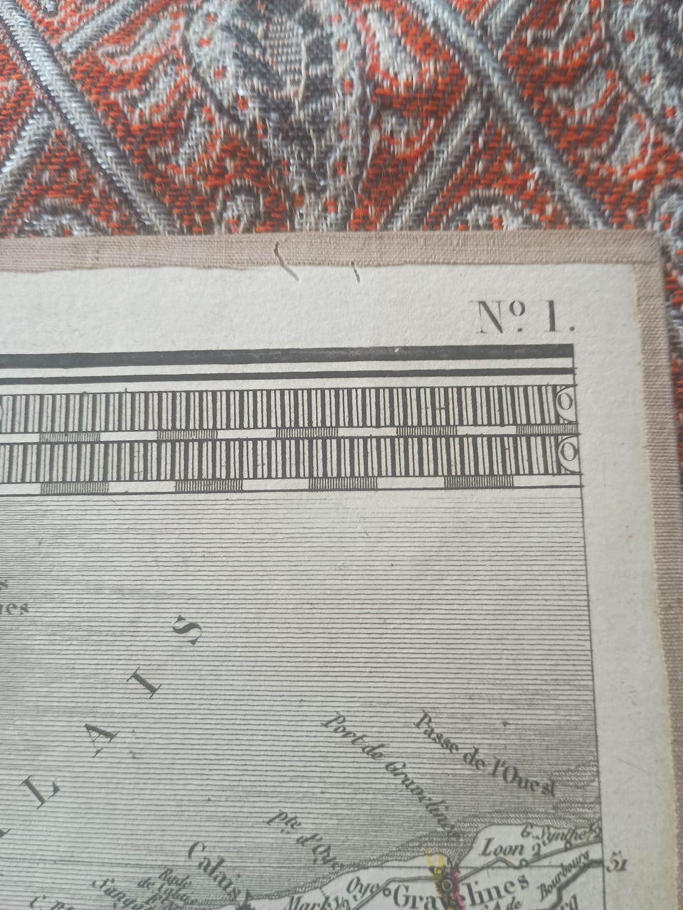
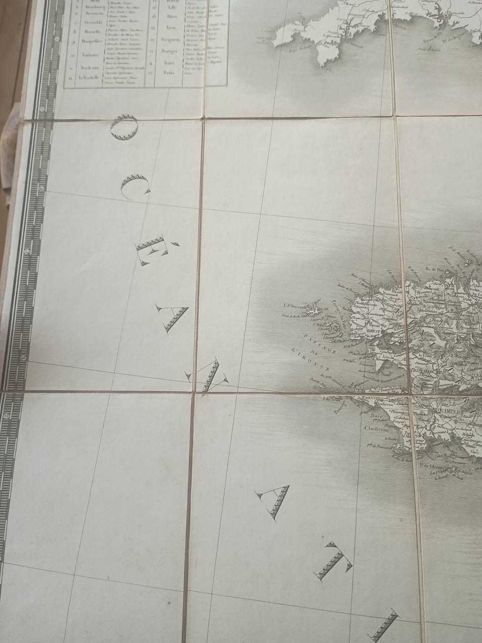
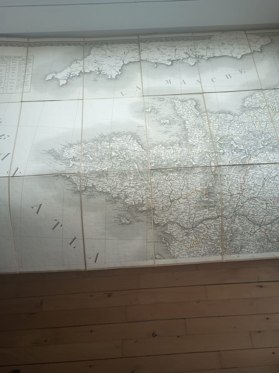
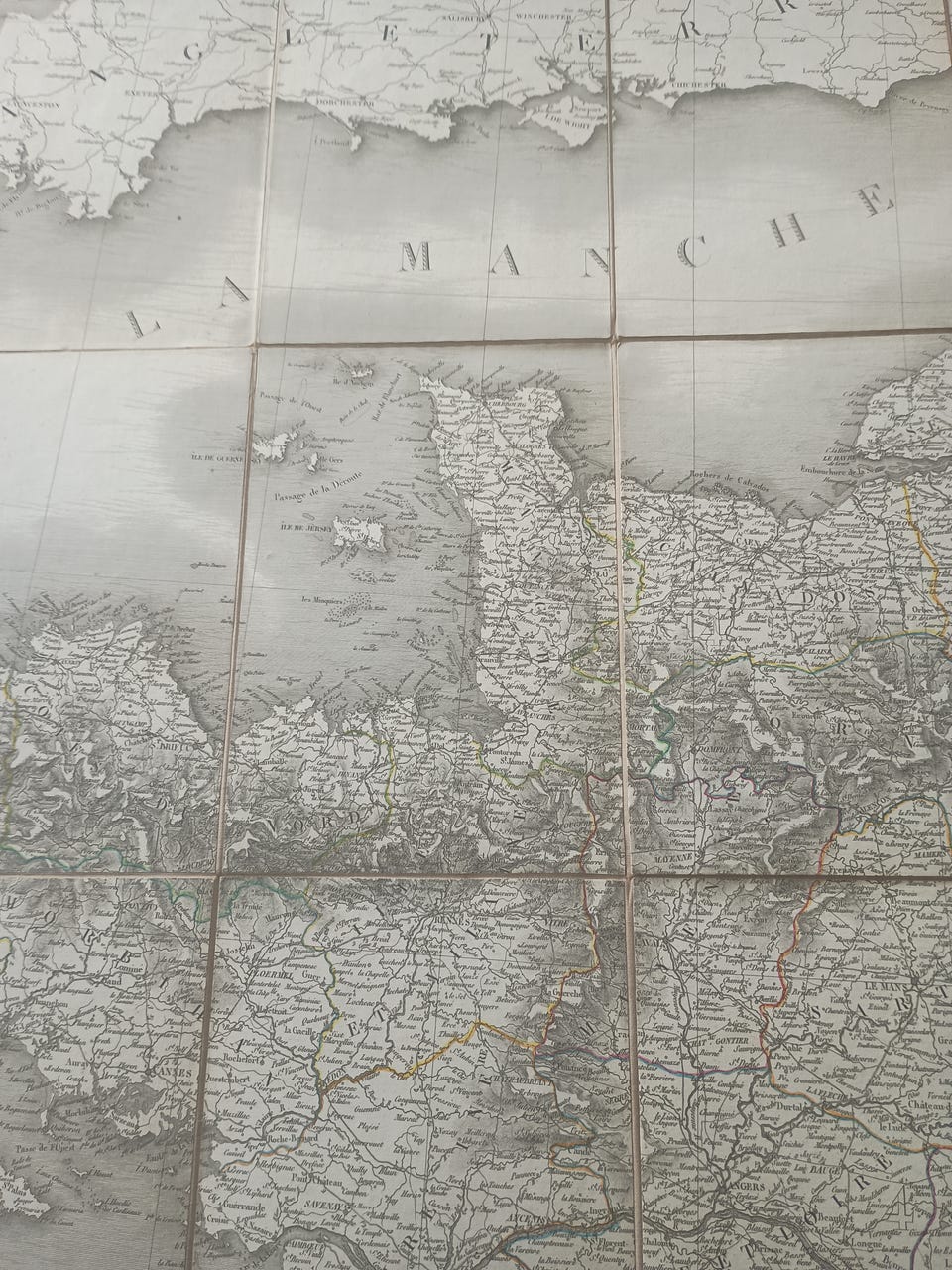
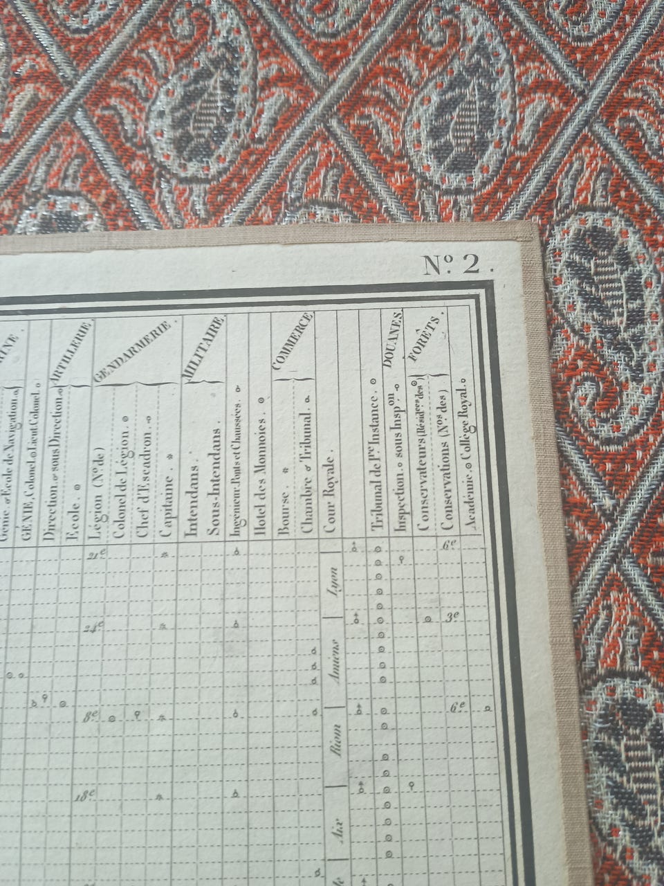
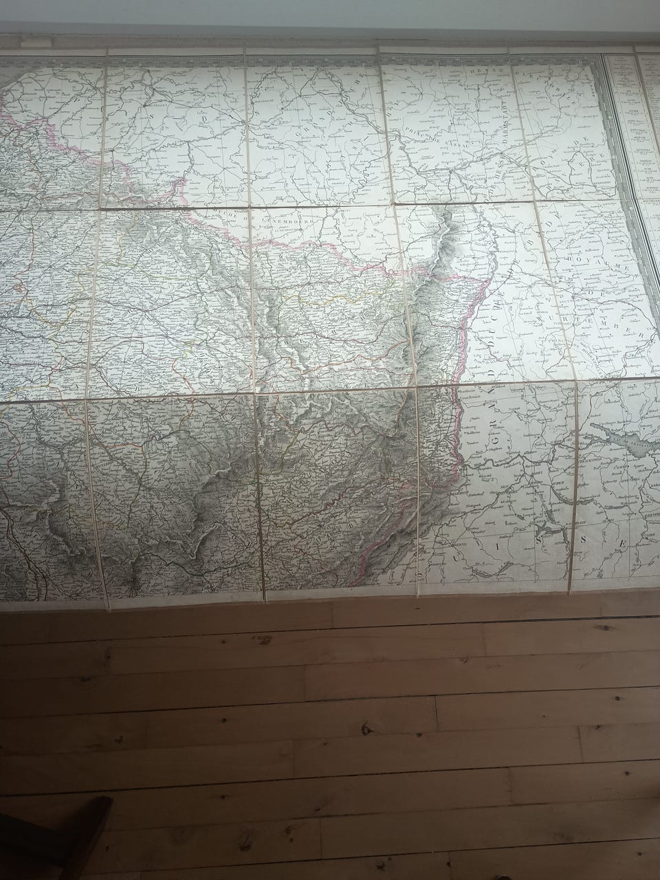
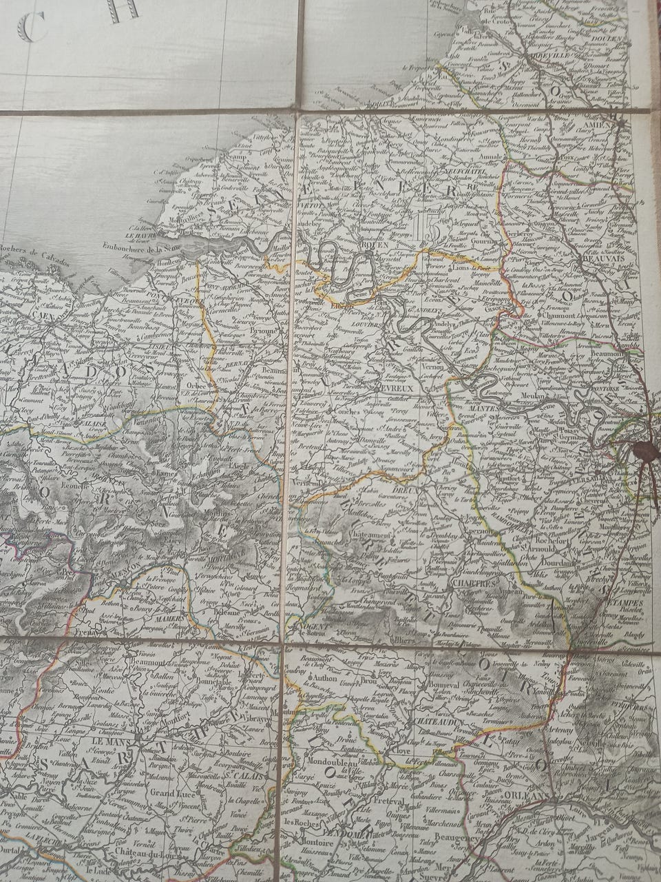
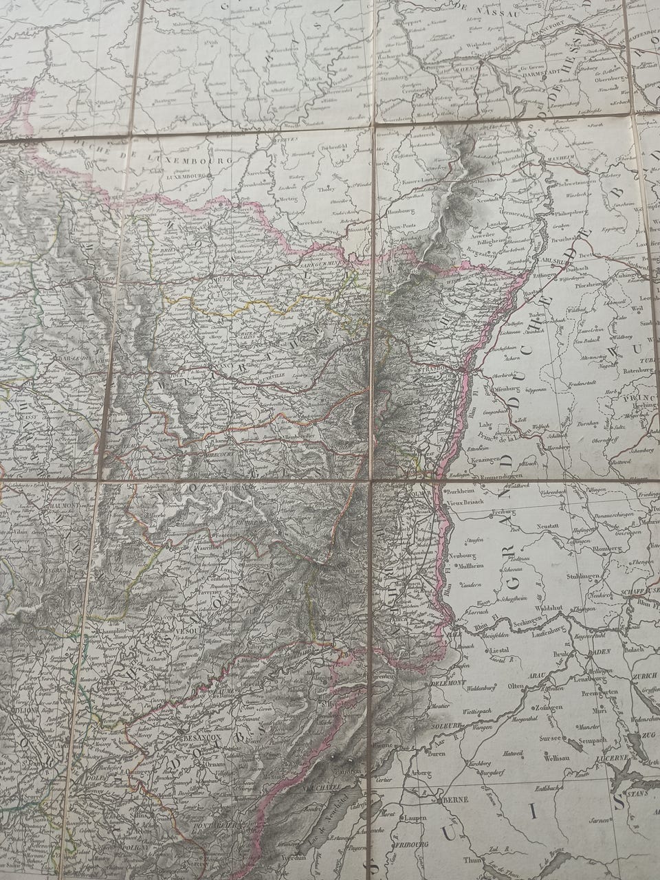
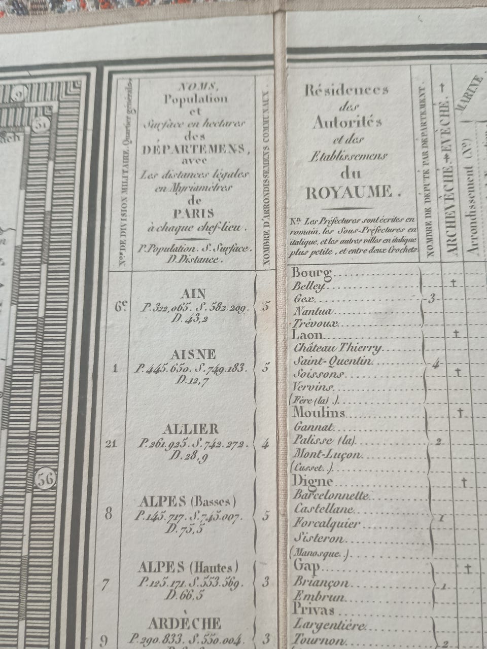
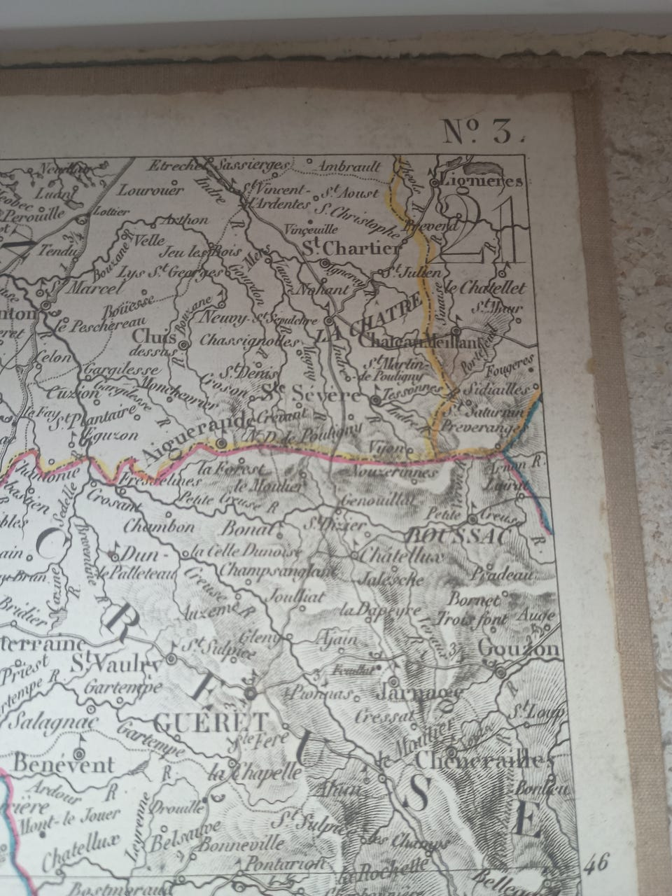
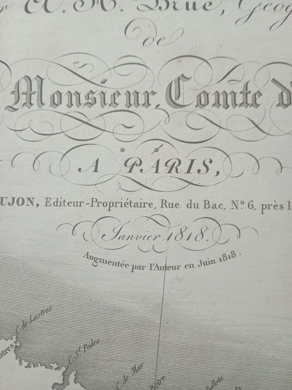
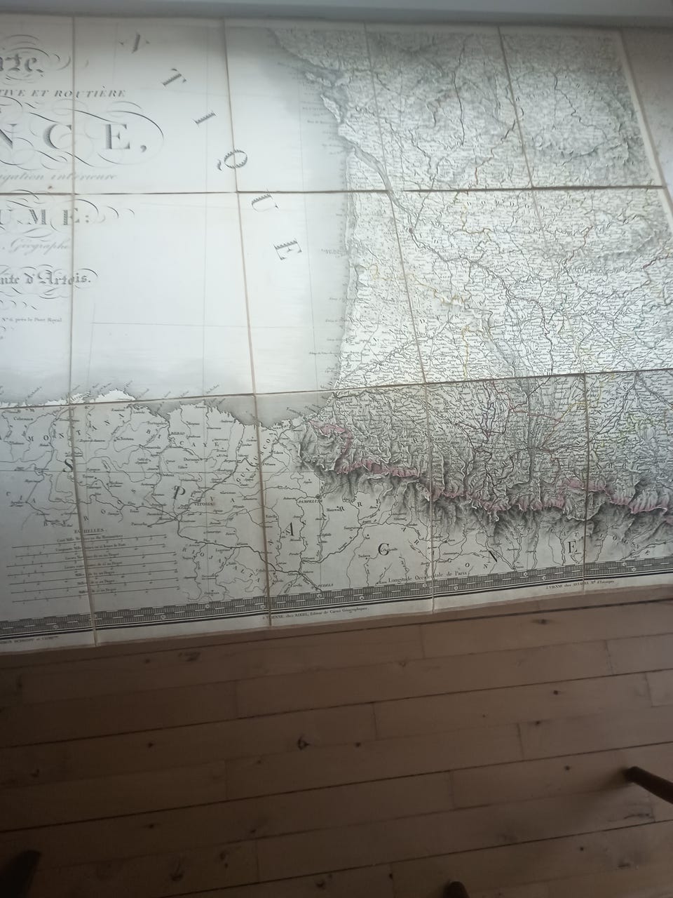
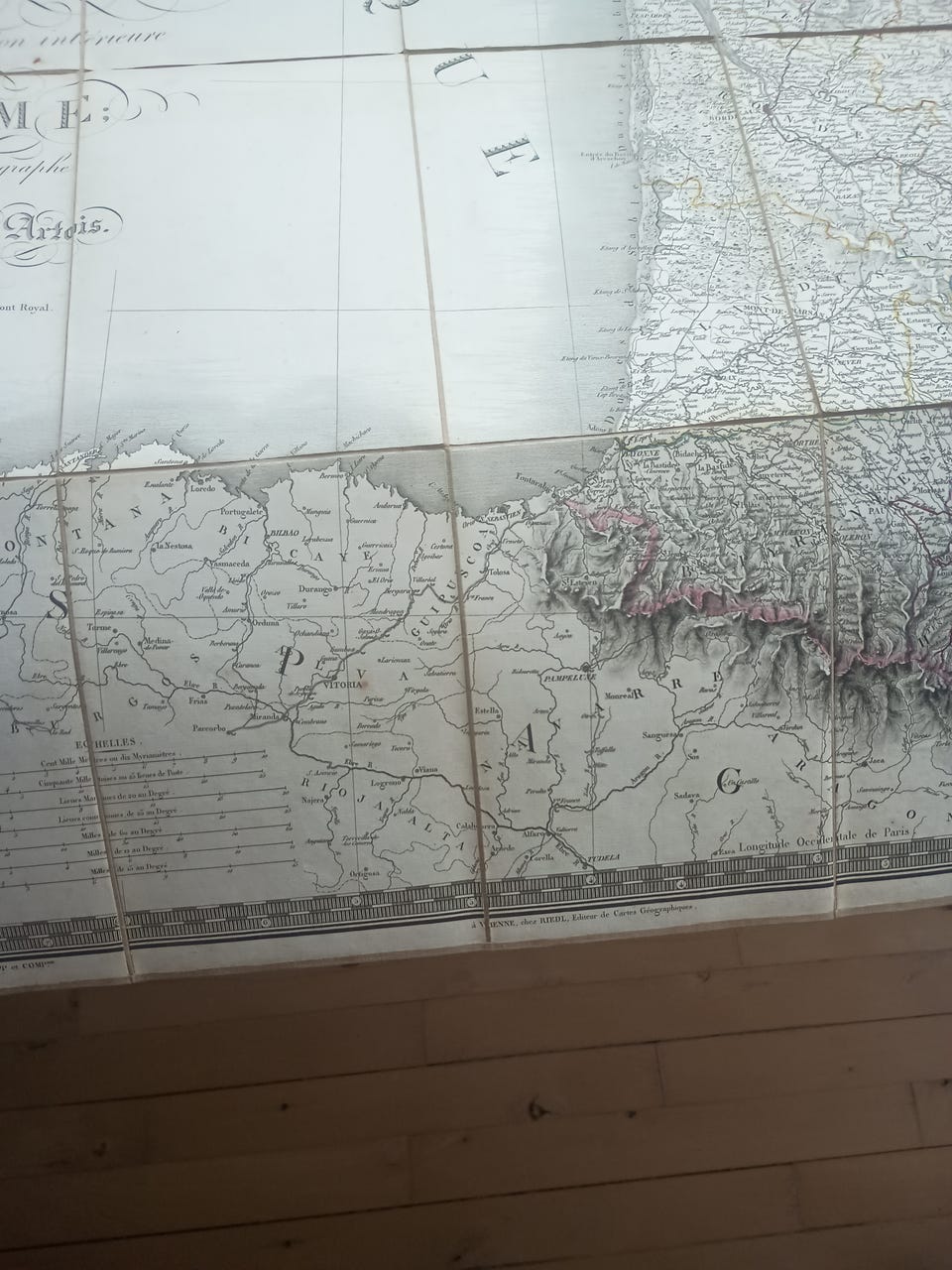
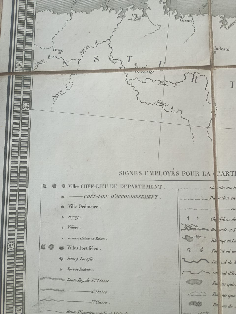
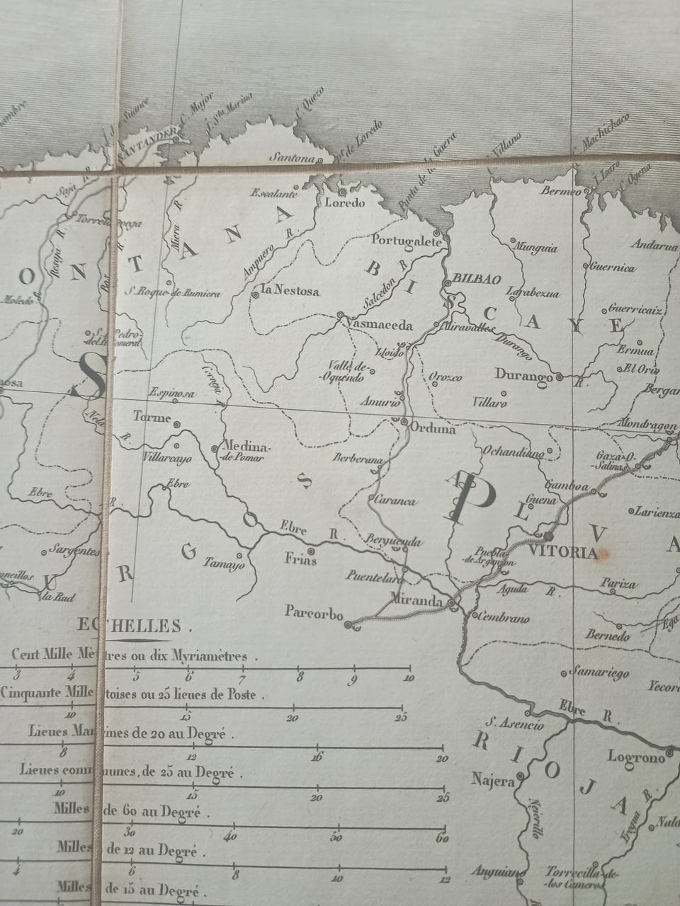
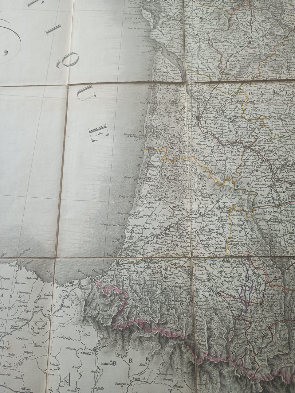
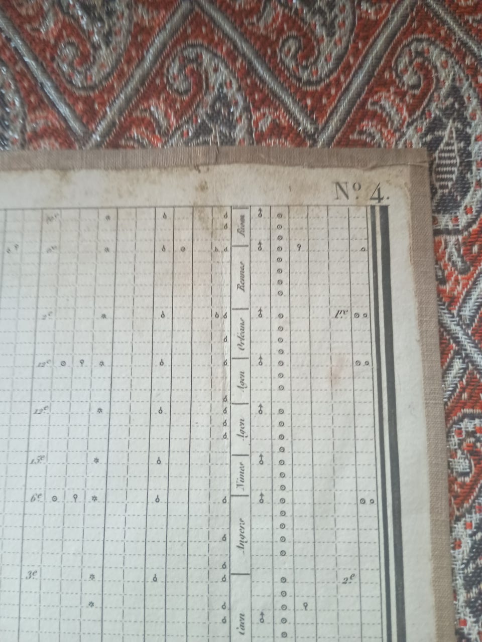
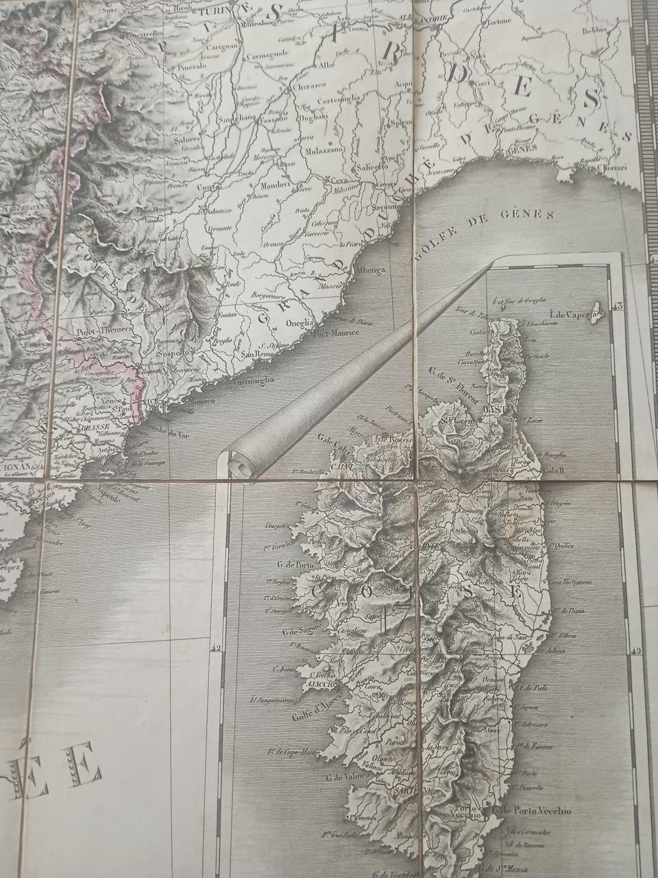
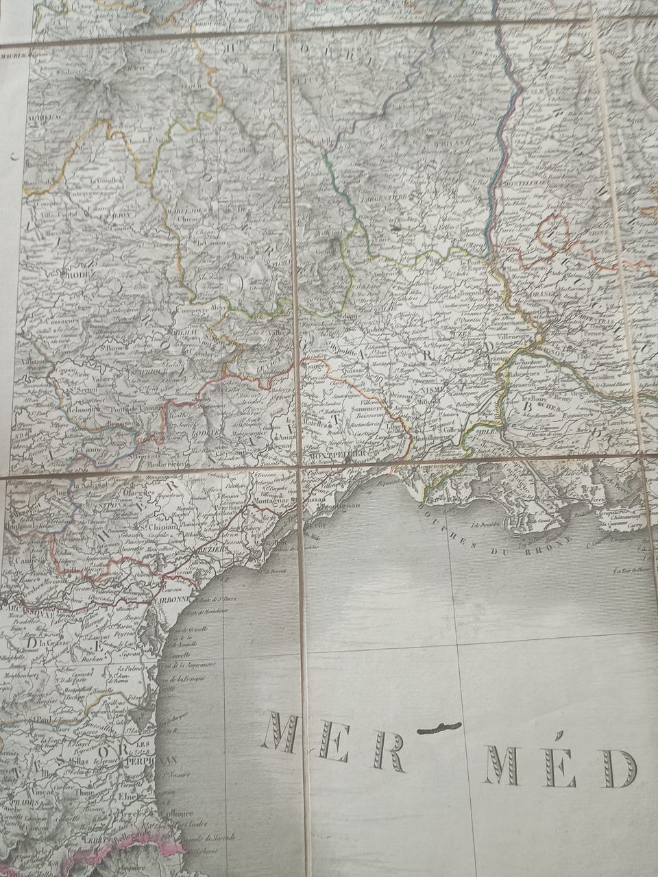
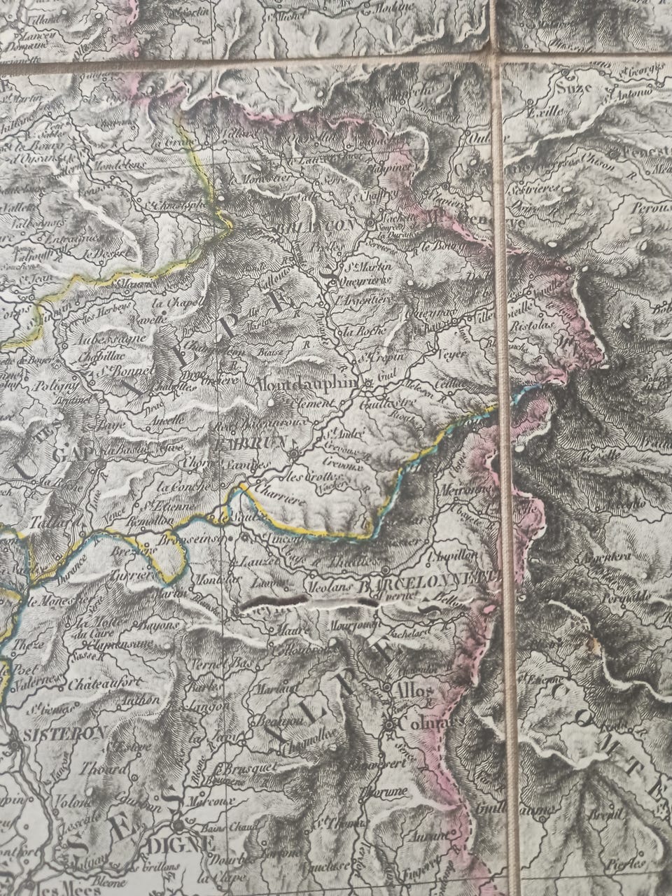
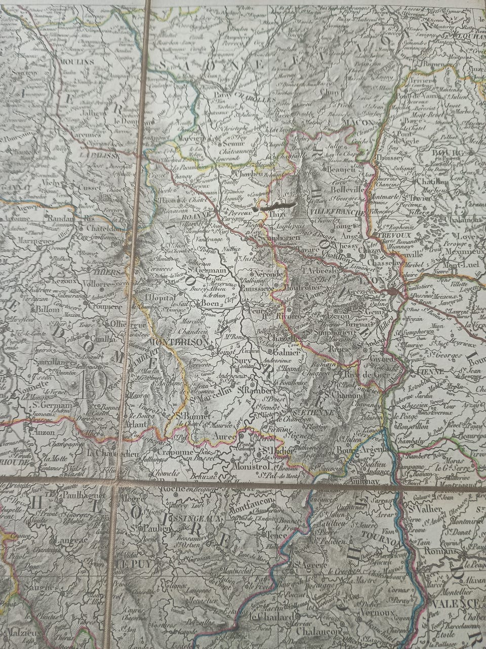
Flot stand (undtagen kort 4. - se fotos): Fire kort Indbundet på stof - i 18. kvardrater og hvert kort måler 79,5x57,7 cm - de fire kort vejer tilsammen 579 gram - J. Goujon, Paris 1818.
Prisen er fast.
Full title: "Carte physique administrative et routiere de la France indicat aussi la navigation intérieure du royaume":
1st edition and 1st printing:
Excellent condition (except map 4. - see photos): Four maps Bound on cloth - in 18th squares and each map measures 79.5x57.7 cm - the four Cards weigh a total of 579 grams - J. Goujon, Paris 1818.
The price is not negotiable.
Titre complet : "Carte physique administrative et routiere de la France indiquant aussi la navigation intérieure du royaume" :
1ère édition et 1er tirage :
Excellent état (sauf carte 4. - voir photos) : Quatre cartes Reliées sur toile - en carreaux 18ème et chaque carte mesure 79,5x57,7 cm - Les quatre cartes pèsent au total 579 grammes - J. Goujon, Paris 1818.
Le prix n'est pas négociable.
Adrien-Hubert Brué (1786-1832) var en fransk kartograf. Han begyndte sin karriere som kahytsdreng, blandt andet ombord på Naturaliste, som var en del af Baudin-ekspeditionen (1800-1804) til Sydhavet og Ny Holland (Australien). Han blev geograf for kongen og greven af Artois. Han udgav Atlas de France (1820-28), Atlas Classique (1830) og Atlas Universel (fra 1816), som gradvist blev udvidet i samarbejde med Charles Picquet, der efterfulgte ham. Brué tegnede direkte på kobber. Han gav kortene, der blev tegnet ved denne proces, navnet enprototype-kort. Hans kort er kendt for graveringens renhed og informationens nøjagtighed.
Adrien-Hubert Brué (1786-1832) was a French cartographer. He began his career as a ship's cabin boy, including aboard the Naturaliste which was part of the Baudin expedition (1800-1804) to the South Seas and New Holland (Australia). He rose to be the Geographer of the King and of the Count of Artois. Published Atlas de France (1820-28), Atlas Classique (1830), Atlas Universel (from 1816) which was gradually expanded in collaboration with Charles Picquet, who succeeded him. Brué drew directly onto copper. He gave the maps drawn up by this process the name of enprototype maps. His maps are noted for the purity of the engraving and the accuracy of the information.
Adrien-Hubert Brué (1786-1832) était un cartographe français. Il débuta comme mousse sur un navire, notamment à bord du Naturaliste, qui participa à l'expédition Baudin (1800-1804) vers les mers du Sud et la Nouvelle-Hollande (Australie). Il devint ensuite géographe du roi et du comte d'Artois. Il publia l'Atlas de France (1820-1828), l'Atlas Classique (1830) et l'Atlas Universel (à partir de 1816), progressivement enrichi en collaboration avec Charles Picquet, qui lui succéda. Brué dessinait directement sur cuivre. Il nomma les cartes ainsi réalisées « cartes enprototype ». Ses cartes sont réputées pour la pureté de la gravure et la précision des informations.

Du skal være logget ind for at se brugerprofiler og sende beskeder.
Log indSidst redigeret: 2.11.2025 kl. 14:48 ・ Annonce-ID: 15557414